test - a critical examination, observation, or evaluation*
 |
| I've been to this place many times, but I had never seen the waterfalls and springs. You can almost hear the rushing water. |
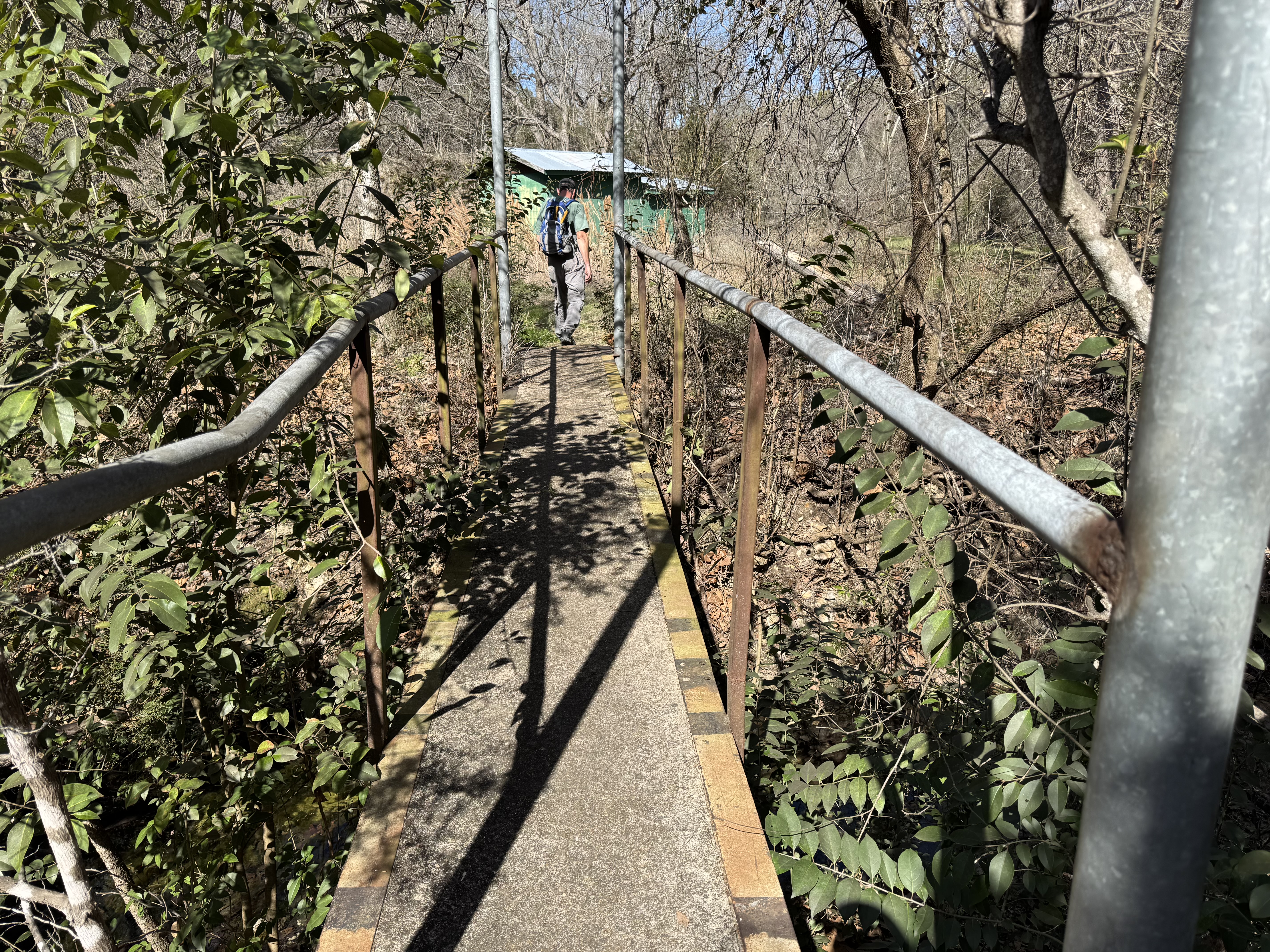
My friend CW sent me a text yesterday asking if I was willing to "test a trail." It took me a minute (and some discussion) to understand the question. The local Boy Scout Camp is now doing some kind of joint use and is now called "Camp Tahuaya: A Family Adventure Campground." **
The score for the trail will be at the end. Really. You can just skip to it if you get bored and don't want to look at the photos. ***
I know little about the organization of the "family adventure campground," but it appears (from the website) to be part of the Longhorn Council of the Boy Scouts of America and I don't intend to ask any further questions at this point. We can leave that for another day.
My friend and her husband have been working on a project of the Central Texas Chapter Texas Master Naturalists - clearing and building trails on a part of the camp that appears to have seen little activity in the past. They will have scouts (Saturday) and the public (Sunday) out to hike the trails as part of the grand opening. My friends will be leading hikes. They wanted a test run with a random member of the public. I'm pretty random (and have some self-imposed hiking limitations) so I must have seemed like a good test subject (a trail rat, if you like).****
It did not take me a secong breath before I said "yes." I didn't have to think about it as (in no particular order): I've some limited experience with the camp (my son was a scout here), I was really curious, I love to hike, and I love being around these people as they are adventurous, well versed in the wild, and lovely humans.
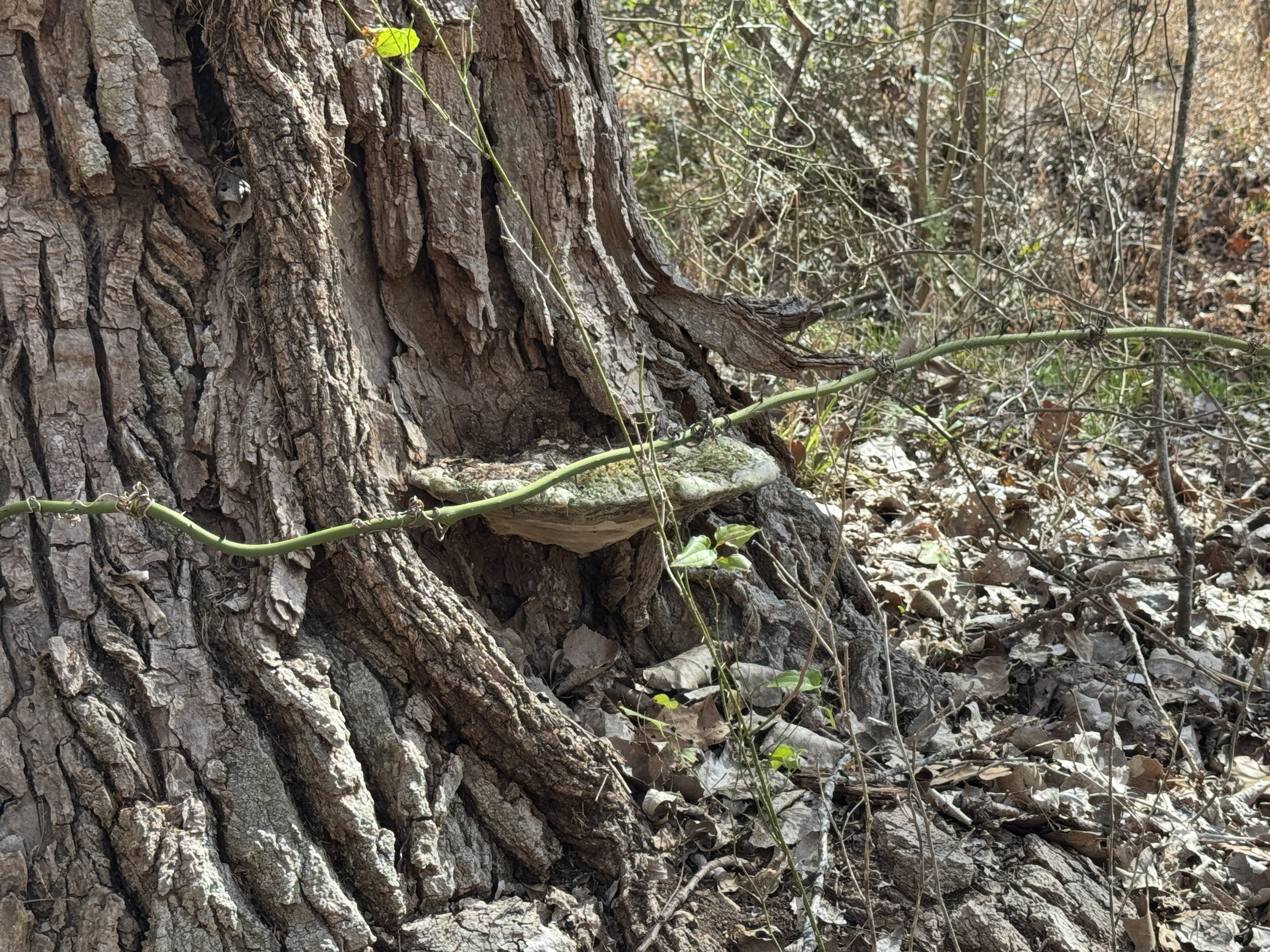
I loved every step of the 1.5 hour hike. Even in this transition time between winter and summer, when the trees are still naked, there was something interesting around every corner - springs, waterfalls, early wildflowers, birds, and so much more.
Here are a few photos from the morning (in no particular order). The sun cast some harsh shadows, but there was the stark beauty of Texas winter stripped trees and dried brush.
NOTES:
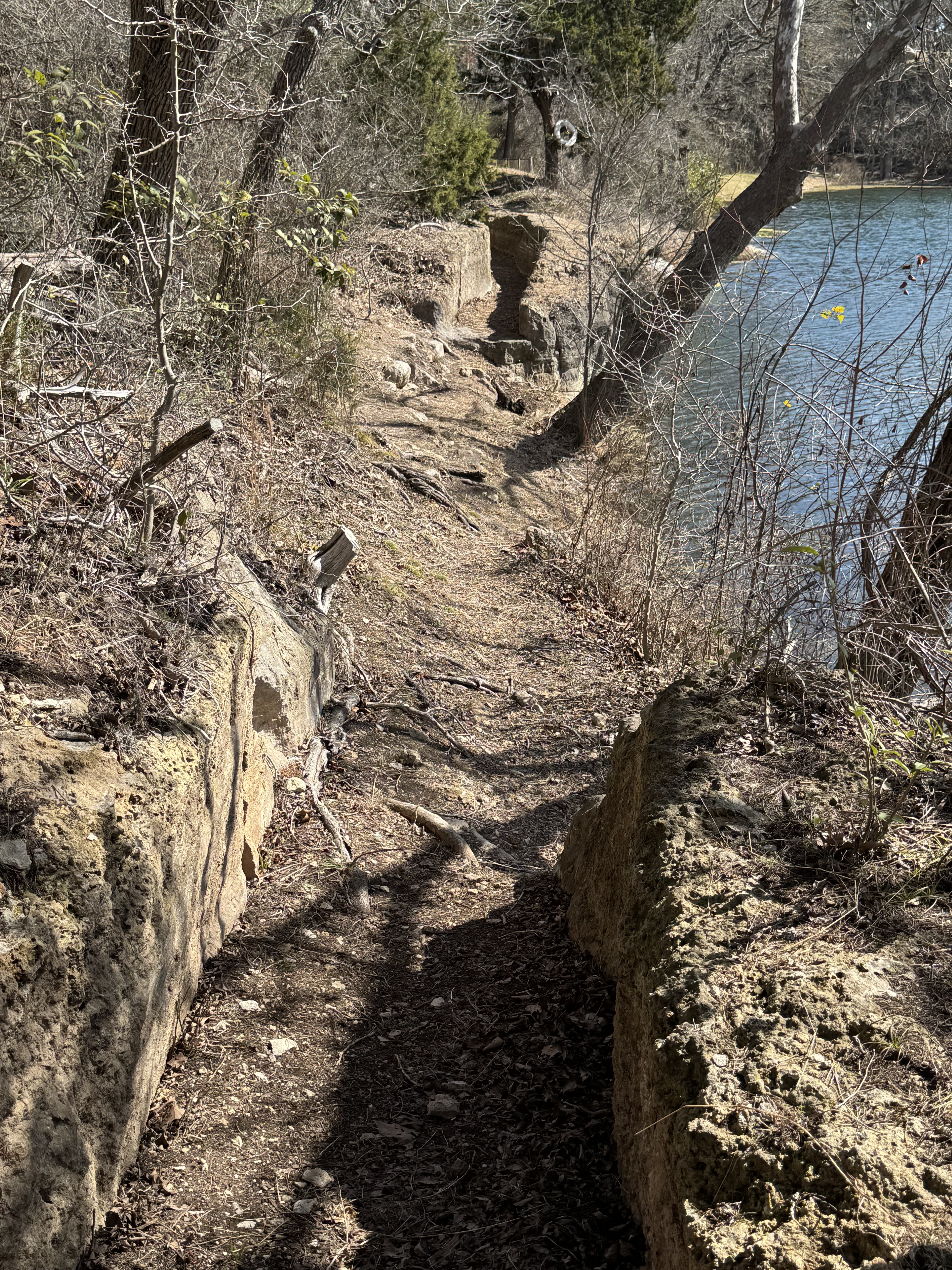
*** Test Score -- Difficulty level is EASY with only a couple of slightly MEDIUM spots (weird steps and some inclines). Visually it has some lovely spots and will only improve in the spring (I'm fond of waterfalls - even small ones). Length - distance is moderate - it's not too far and time varies depending on how much of the trail you walk and your speed. I'm pokey and it took about 1.5 hours to walk the whole thing as I stopped for photos and stuff. There are spots where you can cut to the chase and end early. History -- There's a Texas Historical Marker at the ruins of the old mill and a spot where you can see the ruts worn in the stone by early settlers driving wagons (pretty interesting - see below).
All in all, I like the hike and will go back.
**** I've led a few hikes in my day (if you follow the blog, you know).
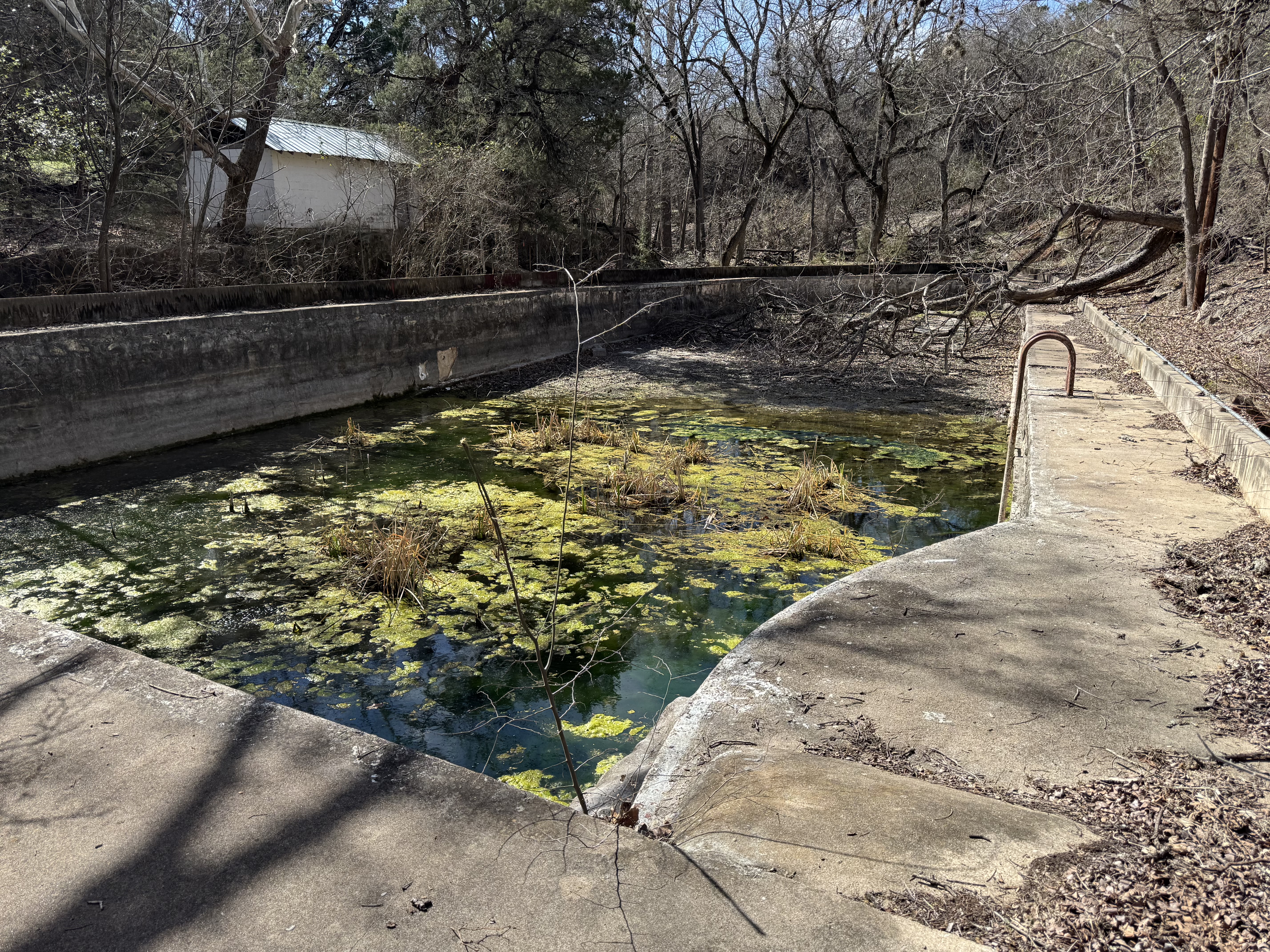
***** It reminds me a bit of the Beverly Hillbillies' "cement pond." This one has seen better days.
Historical stuff:
 |
You can almost hear the sound of the team pulling a wagon up this slight incline.
|
SITE OF THE CHILDERS-SHANKLIN MILL
FIRST WATER-POWERED MILL IN BELL COUNTY
BUILT IN 1847 BY ROFERT CHILDERS, PIONEER SETTLER, INDIAN FIGHTER, SERVED IN THE ARMY OT TEXAS, 1836. SOLD IN 1856 TO GW SHANKLIN 1799-1888, WHO BUILT BEST WATER RACE IN TEXAS
SITE OF STAGE STAND ON OLD MILITARY ROAD
CROSSING PLACE OF CHISHOLM CATTLE
ERECTED BY THE
STATE OF TEXAS
1 95 6
(This is an old historical marker - erected the year I was born!)


Comments
Post a Comment